Teithiau Patagonia | Welsh Patagonia Tours | Tours to Patagonia
- Home
- Destination Details
Patagonian Steppe
Best Time
All-year-round. Does get very hot in the summer
Perfect For
Nature & Geology loveer
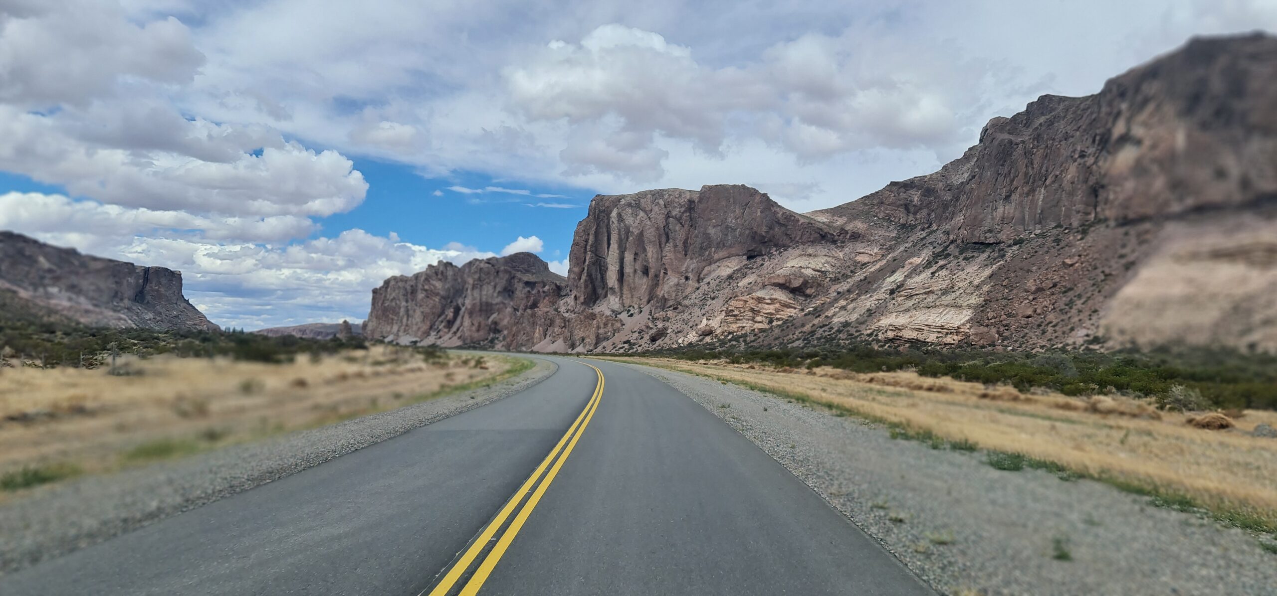
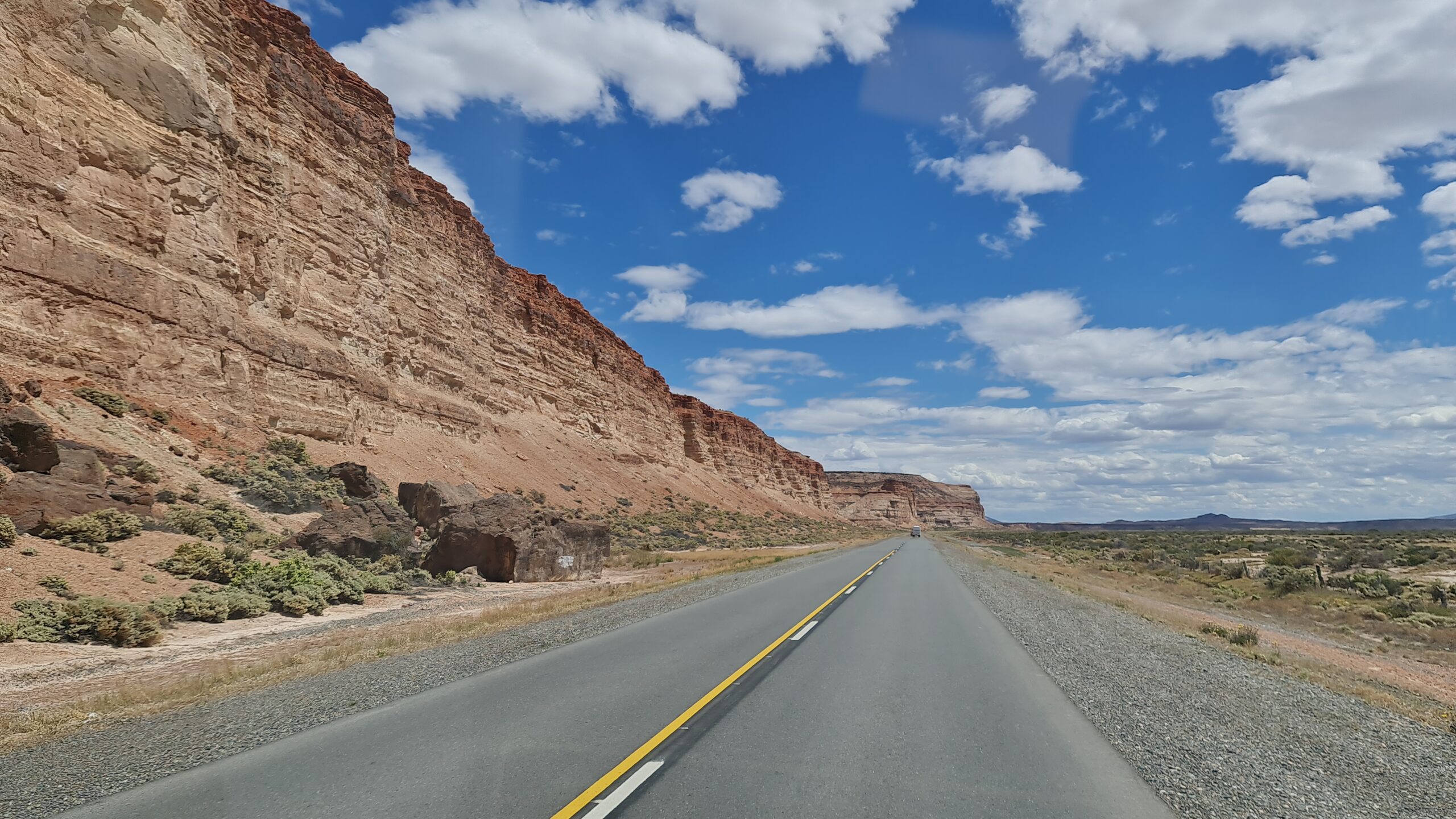
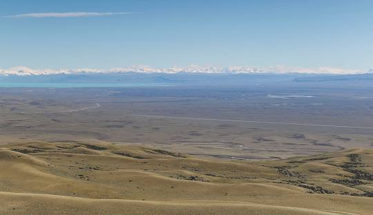
The Patagonian Steppe, known in Welsh as “Y Paith,” is the largest desert in Argentina and the eighth-largest in the world, covering approximately 673,000 square kilometers. It extends across much of southern Argentina, bordered by the Andes Mountains to the west and the Atlantic Ocean to the east. To the north, it transitions into the Cuyo Region and the Monte Desert. The landscape is vast and rugged, consisting of dry plains, plateaus, and deep river valleys shaped by erosion. While much of the terrain is covered in hardy shrubs and grasses, the western areas—where precipitation is slightly higher—feature glacial lakes and pockets of cold temperate forests.
For centuries, the Steppe was home to the Tehuelche people, a nomadic indigenous group who thrived in the harsh conditions, moving with the seasons and hunting guanacos across the open plains. Their dominance of the steppe remained unchallenged until the 19th century, when Welsh settlers, Argentine pioneers, and other European migrants began to transform the land through livestock farming, particularly sheep and cattle ranching. This marked a shift from an untamed wilderness to a region integrated into Argentina’s economy.
One of the most legendary journeys across the Steppe was undertaken by John Daniel Evans in 1883. A Welsh-Patagonian explorer and skilled horseman, Evans set out to survey the steppe, riding his trusted horse, Malacara. During his travels, he was ambushed by a group of Tehuelche warriors. In a desperate escape, Malacara made a daring leap from a sheer rock face, carrying Evans to safety and cementing both man and horse as enduring figures in the history of Welsh Patagonia.
In 1885, another significant expedition took place across teh Steppe, when a group of Welsh settlers, later known as the Rifleros, set out in search of new agricultural lands. The arid expanse of the steppe had proven difficult for farming, leading them to seek more fertile ground in the west. After enduring harsh conditions, they eventually discovered a valley in the foothills of the Andes, which they named Cwm Hyfryd (“The Pleasant Valley”). This discovery led to the establishment of Trevelin and other settlements in what became the second major Welsh settlement region in Patagonia.
The Patagonian Steppe, or Y Paith, has existed for millions of years, dating back to the Middle Miocene (14–12 million years ago), when the Andes rose and cast a rain shadow over the land, creating the dry climate that defines the region today. Despite its harsh conditions, the steppe has played a vital role in the history of those who crossed it—from the indigenous Tehuelche to the Welsh pioneers who sought a new beginning in Patagonia. Today, the Steppe remains a defining part of Argentina’s landscape, its windswept plains still echoing the stories of those who dared to journey across it.
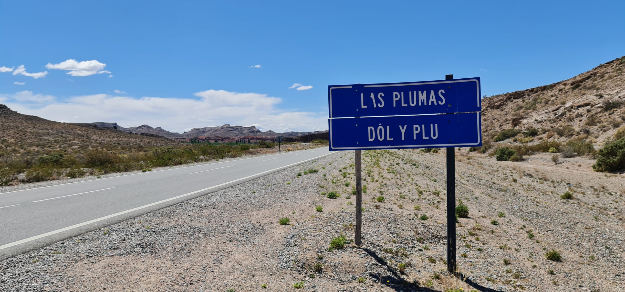
Las Plumas
Las Plumas is a historically significant settlement along Route 25, once an important railway stop for those traveling across Patagonia’s interior. Originally named Dôl y Plu by Welsh settlers, meaning “Meadow of Feathers,” it developed as a key service point for the surrounding sheep-farming communities. Although the railway no longer operates, Las Plumas continues to provide fuel, supplies, and accommodation for travelers and ranchers. The surrounding landscape consists of vast plateaus and deep valleys carved by the Chubut River.
Paso de Indios
Paso de Indios is one of the most isolated settlements on the Patagonian Steppe, located along Route 25 as it cuts through the interior of Chubut. The town’s name, meaning “Pass of the Indians,” reflects its historical use as a migration route for the Tehuelche people before the arrival of European settlers. Today, it serves as an important logistical stop for sheep farmers and travelers, offering rare access to fuel and provisions in this otherwise remote region. Paso de Indios is surrounded by wide, open plains where strong winds and extreme temperatures define daily life.
Los Altares
Los Altares is named after the towering rock formations that rise from the surrounding steppe, creating one of the most striking landscapes in Patagonia. Located along Route 25, the town serves as a stopping point for travelers crossing the steppe. The region has a rich indigenous history, with ancient rock paintings and archaeological sites in the nearby cliffs, evidence of the Tehuelche people who once moved through these lands. Today, Los Altares is a destination for geologists, adventurers, and those drawn to its dramatic scenery.
Rocky Trip
Rocky Trip was a crucial point on the Patagonian Steppe for Welsh settlers seeking a better life beyond the Chubut Valley. As families pushed further inland in search of new opportunities, they faced treacherous terrain, strong winds, and extreme isolation. One of the greatest challenges was navigating the steep, rocky descents, where traditional methods of travel proved dangerous. To safely lower their carts and belongings from higher ground, they developed the technique of placing horses behind the carts, using their strength to act as a brake and control the descent. This adaptation was essential in their journey toward new lands, allowing them to establish settlements despite the unforgiving landscape. Today, Rocky Trip remains a symbol of their determination and resilience, a place where echoes of those early journeys still linger on the windswept plains.
Tecka
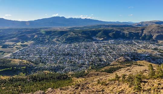
Tecka is a small rural town along Route 40, one of Argentina’s most important highways running through Patagonia. Historically, it served as a trading post and a vital stop for those traveling between the Chubut Valley and the Andes. Sheep and cattle farming remain the main economic activities, with vast estancias surrounding the town. The Tecka River provides a crucial water source in the otherwise dry environment. The town has both Welsh and indigenous influences, reflecting the diverse cultures that have shaped this part of Patagonia.
Gualjaina
Gualjaina is a small town near the Chubut River, surrounded by the rugged terrain of the Patagonian Steppe. Unlike many settlements in the steppe, Gualjaina benefits from nearby water sources, making it a center for small-scale agriculture and livestock farming. The town is best known as the gateway to Piedra Parada, an immense volcanic rock formation that rises 210 meters above the plains. The nearby canyon offers world-class rock-climbing routes, attracting adventurers from around the world. Gualjaina also has a rich archaeological history, with ancient cave paintings and artifacts left behind by the region’s early indigenous inhabitants.
Photo Gallery
